Enterprise-level aerial intelligence, structured reporting and spatial visualization solutions.
Structured aerial documentation designed for developers, consultants and contractors. We provide consistent site capture aligned with project milestones to ensure visibility, accountability and executive-level reporting clarity.
Ideal for long-term construction oversight contracts.

Professional, presentation-ready reporting for project stakeholders. We transform aerial data into structured documentation that supports internal reviews, investor updates and client presentations.
This is where Halo Hover differentiates — not just flying drones but delivering organized reporting.
Immersive aerial panoramas that allow stakeholders to explore sites remotely.
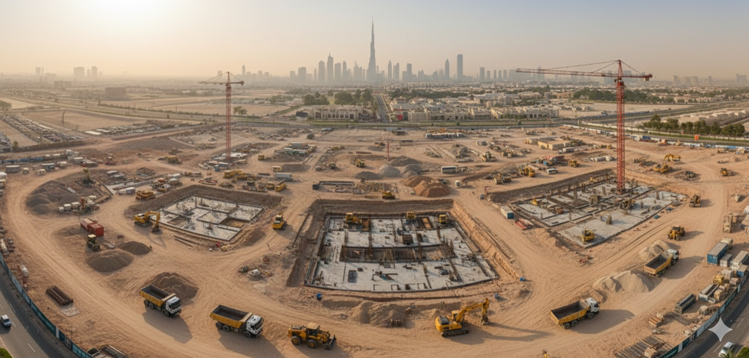
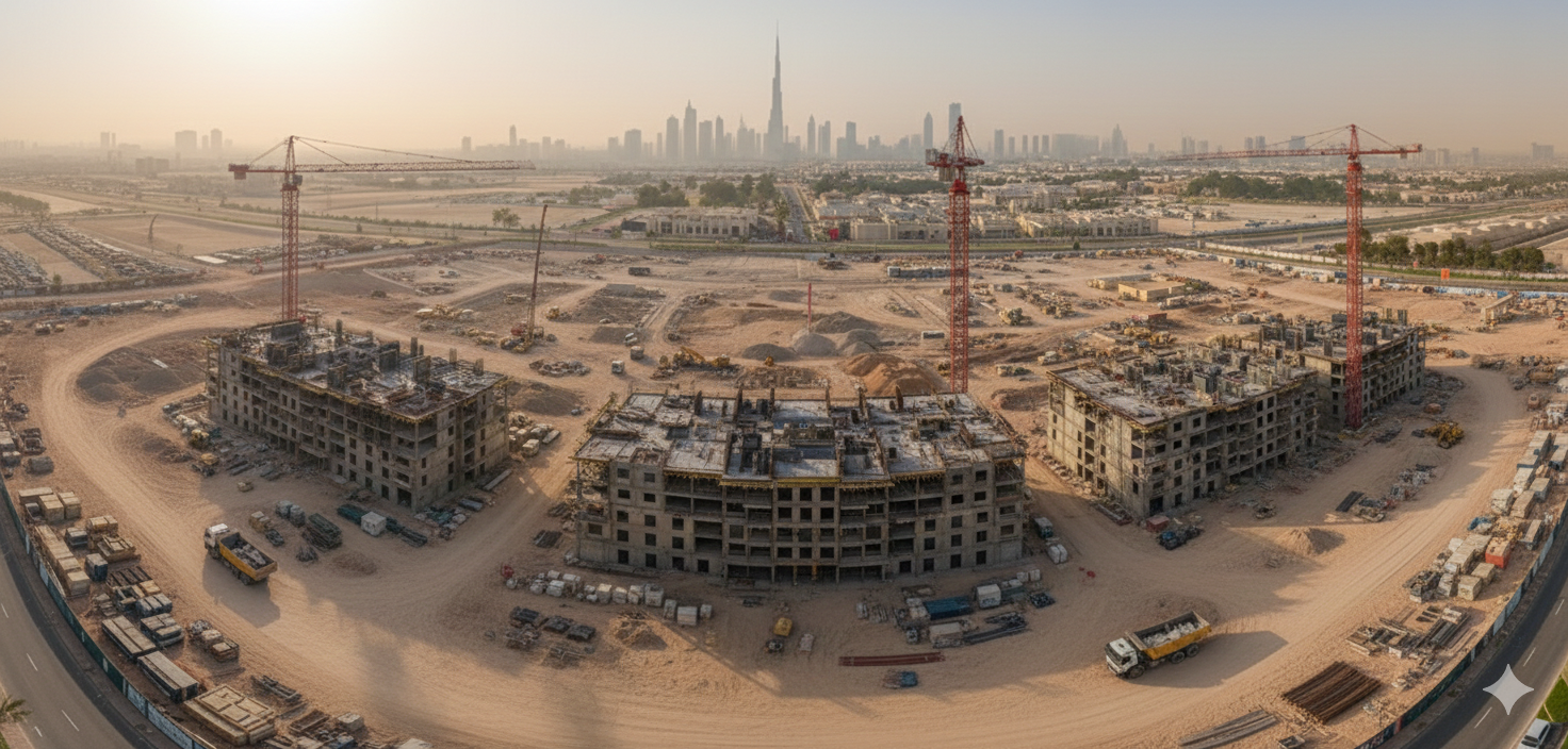
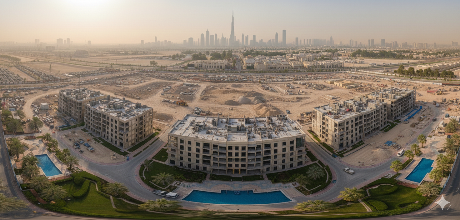

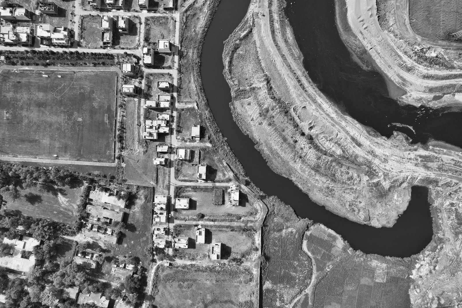
Structured aerial data capture for spatial visualization and site analysis.
Advanced mapping projects are evaluated based on scope and project requirements.
Elevate property launches and brand presence with cinematic aerial visuals.


Professional visual documentation of completed or ongoing architectural projects. We capture structural design, facade details, spatial aesthetics and project completion highlights with precision and creative discipline.
Professional aerial and ground coverage for corporate and construction-related events.